Posted 01/24/13
Accurate mapping of agricultural fields has been a major challenge in remote sensing, yet this information is key to understanding human activities and land use practices. To cover this need, Patrick Culbert is testing the use of advanced machine learning algorithms to measure the size of individual agricultural fields from satellite imagery, in an automatic fashion, and over an incredibly large study area (i.e. Eastern Europe!)
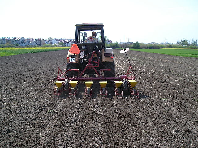
Since the collapse of the Soviet Union, Eastern Europe has been subject to dramatic changes in land use practices, reshaping the landscape and affecting wildlife habitats and biodiversity. And without a doubt, agricultural lands have been a major player in such transformation. In this sense, the entire region has seen major events of agriculture intensification, de-intensification, abandonment, and the splitting of formerly large agricultural fields into small farms. While the size of agricultural fields can provide useful information about the type of human activities and land use practices, using remotely-sensed imagery to separate individual agricultural fields has been a major challenge. This is a classic problem in which the human eye can easily identify features on the screen, but remote sensing technologies do not. As a result, the mapping of agricultural fields has strongly relied on visual interpretation of satellite imagery or aerial photos, yet this approach is not practical over large regions.The big question is how do we map field sizes over broad areas? A solution for this problem is being investigated by Patrick Culbert, a post doc in the lab. For this, Patrick is using advanced machine learning algorithms to process Landsat satellite imagery and map individual agricultural fields in an automatic fashion. The
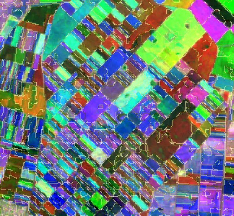
algorithm classifies the imagery into features or segments with similar characteristics (based on spectral, textural, and other information), which should help in separating individual fields and measure their size.This challenging and on-going study is focused on Eastern Europe, and Patrick is working with colleagues from Humboldt University in Germany. Covering such a large area requires very large amounts of data space and processing power, strong programming skills, and a lot of patience! Yet, advances from this study will help researchers and managers to quantify agricultural lands and the patterns of field size, and capture the dynamics of European landscapes at an unprecedented level of detail. Agricultural field size can ultimately be used as an indicator of agricultural intensity (e.g. fertilizer and pesticide use) and for analyses of biodiversity and wildlife habitat.”
Story by Martinuzzi, Sebastian