Posted 01/17/13
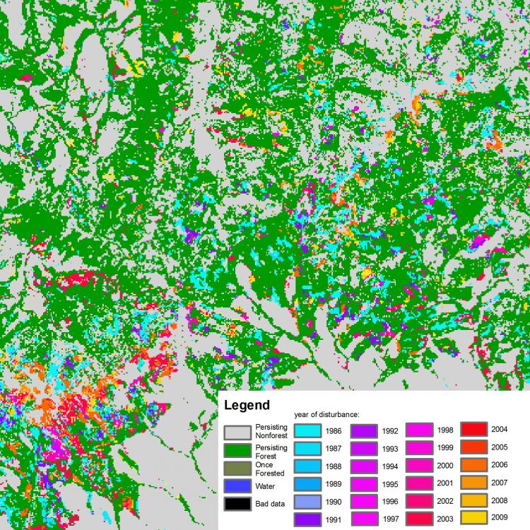
Mapping forest disturbance and regrowth is critical to quantify landscapes changes and the potential impacts on biodiversity and ecosystem services. In this study, Katarzyna Ostapowicz and Volker Radeloff explore technical issues of land cover change detection using dense time series of Landsat images. Using the complex landscapes of the Carpathian region as a case study, they test available methods and develops new approaches to increase the accuracy of forest disturbance and regrowth detection.
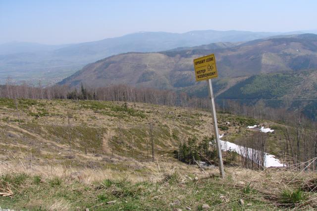
Mapping forest disturbance and regrowth is critical to understanding landscapes changes and the potential impacts on wildlife habitat, carbon, and soil conditions. In very mosaic landscapes, such as those in the Carpathian region in Central Europe, these changes occur at small spatial scales and they have been difficult to track using traditional change-detection techniques, which typically use images from very sparse dates (e.g. 10 years apart). As a result, our knowledge about forest dynamics has been limited to broad temporal scales and ignores the natural dynamics of forest transformation that occur over short periods of time.
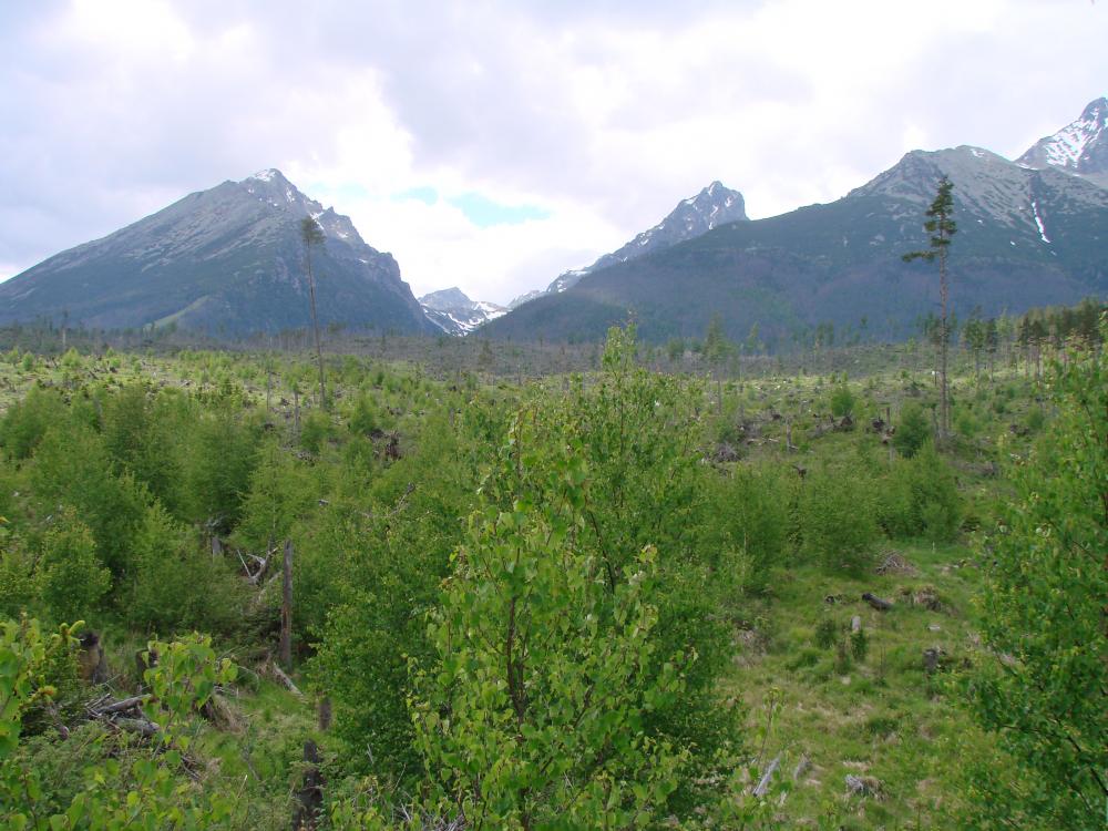
The use of dense, multitemporal satellite imagery like Landsat, involving images from multiple consecutive years, opens up new ways to capture continuous land cover changes, making it possible to monitor the dynamics and spatial distribution of forest disturbances and re-growth in a more accurate way. Katarzyna’s study focuses on the technical issues of land cover change detection with dense time series of Landsat images dating as far back as the 1970’s. Her effort is devoted to testing available change detection methods, such as trend detection with spectral mixture analysis, deviation detection with approaches like VCT, or both trend and deviation detection with software like LandTrendr, and developing new approaches to increase the accuracy of forest disturbance and regrowth detection. Further, this study involves separating natural from anthropogenic forest disturbances (e.g. windfalls vs. clear-cuts). The study is focusing on a period of 20-40 years and involves hundreds of satellite images. For this, Katarzyna is working with colleagues from Boston University and Jagiellonian University in Poland.
Ultimately, these advances in remote sensing will help us to improve our ability to monitor forest dynamics and have a better understanding of the natural and anthropogenic causes of forest change across the Carpathian region.”
Story by Martinuzzi, Sebastian