Posted 01/14/15
The Indochinese tiger (Panthera tigris) is one of the most emblematic animal species on Earth but also one of the most endangered wildlife species globally. A current study is using remote sensing techniques to map the distribution and connectivity of tiger habitat in Thailand, one of the last remaining hotspots for the Indochinese tiger.
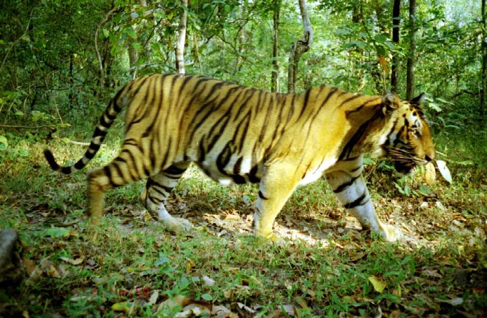
The Indochinese tiger (Panthera tigris) (Figure 1) is one of the most emblematic animal species on Earth yet it is also one of the most globally endangered wildlife species. Once common throughout Asia, the number of tigers has dropped dramatically over the last century due to human activities, such as habitat loss (e.g. deforestation) and illegal hunting. Conserving the remaining tigers and their habitat is a major conservation goal in Asia and globally.Conserving the tiger requires understanding of the tiger’s habitat preferences and their movement across the landscape. ‘By understanding where the most suitable habitat and corridors for tigers are, we could help land managers and conservationists to guide efforts aimed at conserve the tiger’, said Naparat Suttidate, a PhD student at Silvis.
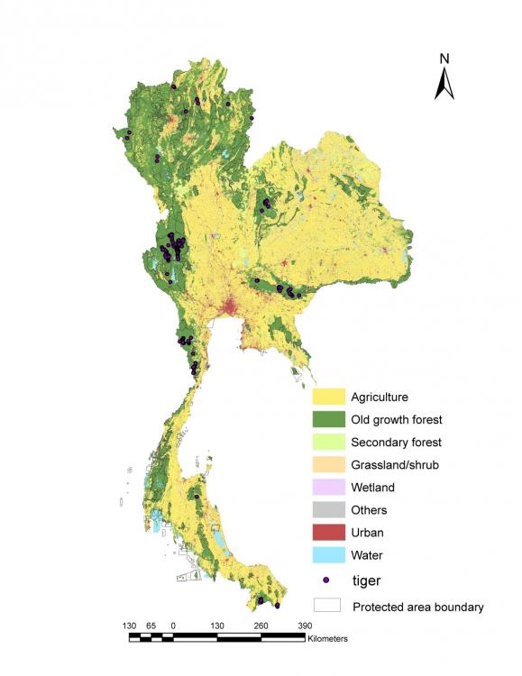
Thailand is one of the last remaining hotspots for tigers in the world. There are about 250-350 tigers in Thailand and spread in about 15 known subpopulation. Suttidate is from Thailand, ‘tigers were relatively common in Thailand, but now they are restricted to a few areas, mainly within protected areas’, she said.Suttidate’s goal is to create a nation-wide map of potential habitat for tiger, which can be used to identify the most suitable places across the landscape where the species may occur. Second, she plans to quantify the connectivity among those suitable areas, in order to identify potential pathways or corridors between subpopulation. Suttidate’s research uses field observation of tigers collected using camera traps (Figure 2), and advanced geospatial techniques such as habitat suitability models, and least-cost path analysis for mapping connectivity.
The result of this effort is a unique, unprecedented assessment of the tiger’s habitat in Thailand that provides important spatial information to support conservation efforts.Suttidate’s ultimate goal is to benefit conservation planning and management in Thailand. The new habitat suitability maps could help local managers to quantify the extent and distribution of the remaining habitat available for tigers in the country, and to identify potential ways to connect the remaining tiger populations. The maps can also be used to guide potential reintroduction efforts and to identify priority areas for conservation. ‘Tigers are an umbrella species, and so any effort to help conserving the tiger will benefit other local species as well’, Suttidate said.”
Story by Martinuzzi, Sebastian