Posted 01/14/15
As habitat integral for many threatened species in the Altay Mountains of central Siberia, protecting old growth forest is imperative. But what do you do when this old growth forest within protected areas is threatened by illegal logging, a threat that is hard to find and difficult to control? Researcher Dr. Eugenia Bragina and colleagues are turning to the skies, using satellite imagery to detect forest disturbance and illegal logging, and hand back the control to forest conservationists.
In the Altay region of Central Siberia, the forests are changing. Old-growth forest, which is needed to maintain a rich biodiversity, has been reduced drastically and now occurs mainly in protected areas. However, this important forest type is being threatened by logging, even within protected area borders, and conservationists are worried.

Although many protected areas within Altay allow some permits for logging, loggers are finding ways to cut corners and take more than their fair share. For example, some amount of selective logging might be allowed where 20% of individual trees are available for harvest, but loggers will end up removing closer to 80% of the trees. Sanitary logging, where old and dead trees can be harvested is also allowed, however, loggers often take younger, healthy trees instead. These types of logging are problematic and technically illegal, but to date have been hard to fight as finding the sites of illegal harvest is the proverbial needle in a haystack. Russian researcher Alexander Schur who visited SILIVIS in 2013 and 2014, along with SILVIS lab colleagues Matthias Bauman, and Eugenia Bragina, are at the forefront of tackling this problem, and using satellite technology to identify locations of old growth forest within protected areas that are being logged. To detect the illegal logging, they are using remotely sensed satellite imagery from Landsat in combination with forest inventory data collected by local forestry agencies. By looking at satellite images of the protected areas from different time periods, the goal is to identify where forest change had occurred, potentially identifying areas of illegal logging. The next step was to visit some of these identified disturbance areas, to check if logging had occurred or not, and this took place after Alexander returned to Altay. Overall, areas that suffered clear-cuts and high-intensity logging were well detected from the satellite imagery. In addition, areas of burnt ground were also well detected which is an important conservation concern for this region; fires in the Altay’s are often of anthropogenic origin as a byproduct of brush left behind after logging and is likewise detrimental to biodiversity. The use of these maps to detect logging is promising, because it allows for areas of forest disturbance to be easily identified, and this means that exhaustive searches by foot are no longer needed. In addition, having maps of disturbance across the entire protected areas makes it more difficult for loggers to hide their logging activities, handing the control back to the conservation practitioners and allowing to prosecute logging companies that act illegally. Forest conservationists are using the outputs of these maps to educate and raise awareness on the issues of illegal logging.

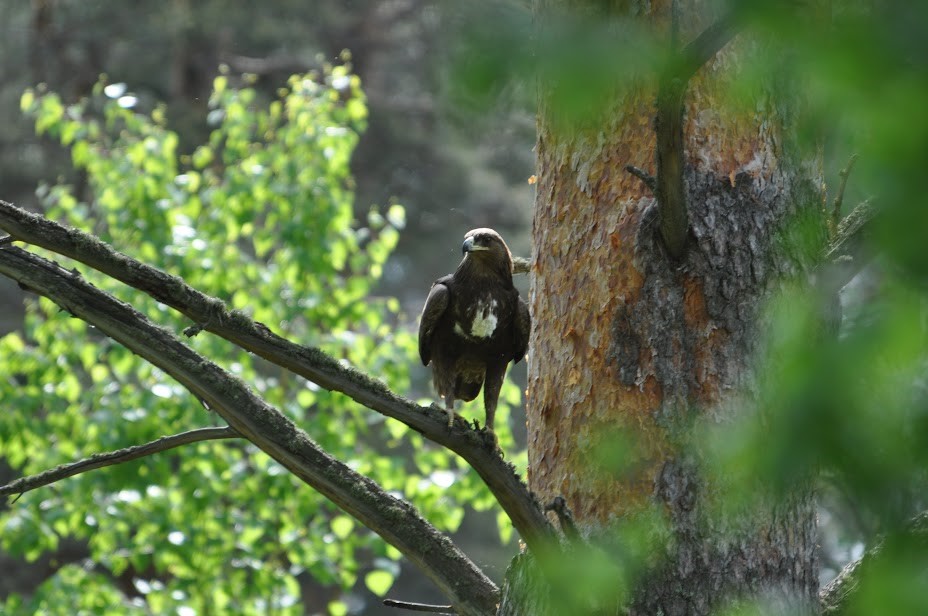
Conservation efforts are also underway, where information from forest disturbance maps are being used in conjunction with data collected on the location of rare and endangered plant and animal species that depend on old growth forest, such as Large-flowered Cypripedium orchids (Cypripedium macranthos), the Great Spotted Eagle (Aquila clanga) and the endangered black stork (Ciconia nigra). This information will then be used to designate special areas within the borders of protected areas where all logging is prohibited with the aim to protect old growth forest and subsequently biodiversity in central Siberia.”
Story by Brooke Bateman
