Posted 12/13/18
Agricultural land abandonment is a prominent land use change across the globe. To increase precision in characterizing the timing and location of land abandonment, He Yin and his colleagues used Landsat time series that allows separation of agricultural land abandonment from complex crop systems at fine scales. By increasing the precision of identifying when and where exactly land abandonment occurs, He Yin is contributing to the science of remote sensing and providing critical information to help plan sustainable landscapes.

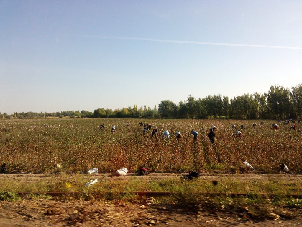
Agricultural land abandonment is a prominent land use change across the globe. From Eastern Europe to the core of the Amazonian forest, land dedicated to agriculture has been abandoned. These new unused land areas may provide opportunities for conservation and carbon storage. They can also be seen as potential threats to social security and to the spread of fire. Agriculture abandonment is also an important indicator of economic growth and stability. However, abandoned agriculture, and closely related land cover classes such as fallow fields, and grasslands, are not yet routinely mapped with remote sensing. He Yin wants to contribute to the science of remote sensing by creating agriculture abandonment maps that have high precision in time and location. Better maps (i.e. with greater resolution) would help improve our understanding of the drivers that lead to agricultural land abandonment and would be useful for planning sustainable landscapes.

Satellite images have precious information on plant phenology, which is the “key” to distinguishing active agriculture from other land use types. For instance, early in the season a plowed field has open soil ready to be planted. Then, as plants grow taller the amount of green leaf area increases. Later in the season, when crops are ready for the market, comes the harvest, and the amount of leaf area decreases. “These abrupt changes in the amount of plants in a field can be detected in the satellite images, and allows us to confirm that the field is under production” – says, He Yin.
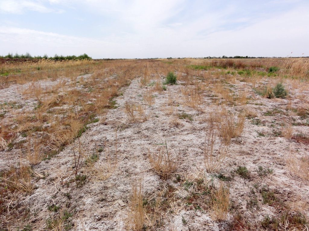
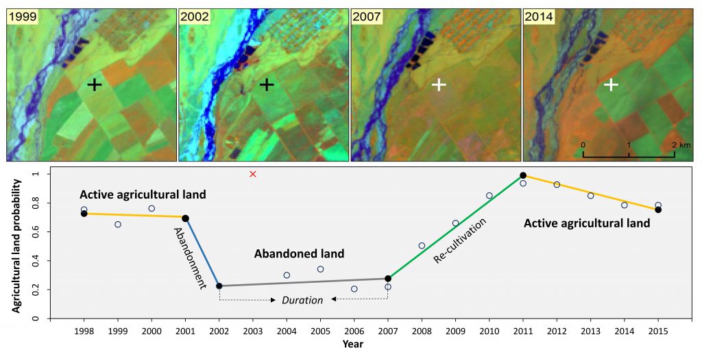
Agricultural land abandonment mapping is challenging because of the heterogeneity and complexity of agricultural land use. Some years a field may be left fallow, to give time for the soil to recover. However, fallow land is not abandoned land. A fallow field may return to production after a year or two. An abandoned field contrasts with a production field in that abandoned field presents a natural decay of the vegetation late in the growing season. He Yin used a technique called ‘temporal segmentation’ to map land abandonment from 30-m Landsat time series (Yin et al. 2018). “When a field has no agriculture for more than 5 years, then we classify it as abandoned land”.

However, Landsat images are not immune from problems. From a Landsat time series, there is a set of images that are not useful because they contain clouds or part of the picture is shaded by topographic features. This increases inaccuracy and limits the areas that can be included in analysis. To solve this challenge, He Yin is planning to use a new NASA product, the Harmonized Landsat Sentinel-2. This product merges imagery from Landsat with imagery from Sentinel-2 and the merged product provides increased temporal resolution of the data. “Repeated 5-day observations will likely improve our mapping precision,” says He Yin.
He Yin and his colleagues mapped land abandonment in the Caucasus recently (Yin et al. 2018), and are ready now for a much larger challenge. They are starting to map agriculture abandonment globally. They want to test their time series approach in many regions of the world, using the improved set of satellite imagery provided by Harmonized Landsat Sentinel-2. He Yin hopes that these explorations will help to have better maps of land abandonment from places with varying topographies and biomes, and, most importantly, where agricultural systems are complex.
Story by Rojas-Viada, Isabel
