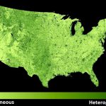
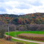
Satellite images provide a wonderful record of the last fifty years of global change. We have pioneered new methods to map wildlife habitat and proxies for biodiversity and habitat, as well as agricultural abandonment and other types of land use change for large areas. We analyze MODIS/VIIRS data across the globe, Landsat and Sentinel-2 across continents, and high-resolution CORONA spy satellite imagery across countries.
50 years of housing growth in the WUI in California
February 8, 2021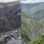
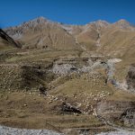
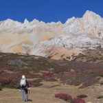
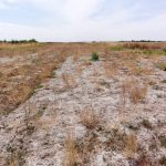
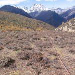
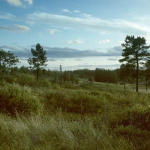
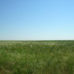
What is driving land degradation in the Caucasus Mountains?
February 6, 2019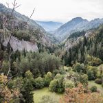
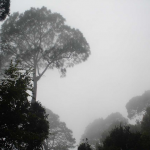
Satellite Classification of Tree Species
January 6, 2016

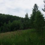
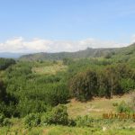
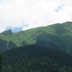
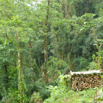
Forest Changes in the Altay
January 14, 2015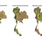
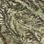
The power of maps and the beauty of old ones
January 16, 2014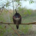
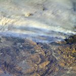
It is getting weirder – extreme events in satellite records
January 16, 2014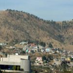
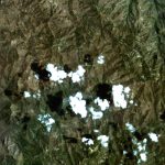
Forest degradation in Mexico and spectral mixture analysis
January 16, 2014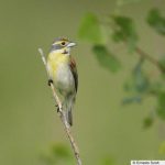
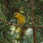
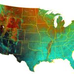
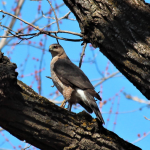
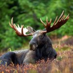
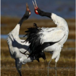
Vegetation structure and bird populations across the U.S.
February 25, 2013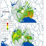
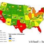
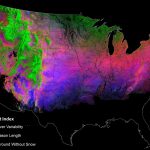
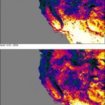
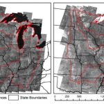
Where do fires destroy homes in the United States?
January 28, 2013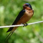
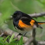
How are birds breeding in New England affected by the weather?
January 28, 2013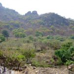
Monitoring of deforestation and forest degradation in Mexico
January 24, 2013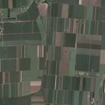
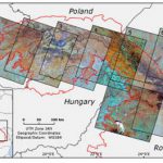
Small-versus large-scale farming in Eastern Europe
January 24, 2013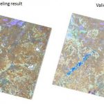
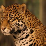
Land-cover change, people and jaguars – remote sensing or close sensing?
September 15, 2010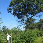
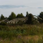
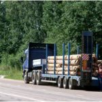
Institutional change and logging in post-Soviet Russia
August 9, 2010