What happens when it gets too dry? Brooke Bateman discovers how migratory birds like Dickcissels respond to extreme drought events in the Midwestern United States and looks at what that means for future management and conservation efforts.
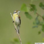
Satellite images provide a wonderful record of the last fifty years of global change. We have pioneered new methods to map wildlife habitat and proxies for biodiversity and habitat, as well as agricultural abandonment and other types of land use change for large areas. We analyze MODIS/VIIRS data across the globe, Landsat and Sentinel-2 across continents, and high-resolution CORONA spy satellite imagery across countries.

What happens when it gets too dry? Brooke Bateman discovers how migratory birds like Dickcissels respond to extreme drought events in the Midwestern United States and looks at what that means for future management and conservation efforts.
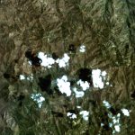
Satellite imagery provides invaluable information regarding land cover features over time. However, since many satellite-based image sensors cannot see through clouds, imagery researchers need to screen cloudy pixels from cloud-free pixels in order to analyze land change through time.
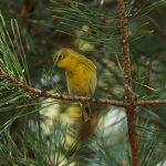
Can you predict biodiversity abundance without fieldwork, sitting at your desk? Patrick Culbert can. Using satellite images and data from Breeding Bird Survey, Patrick estimates abundance of bird species across United States.
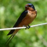
Do we know how climate change and extreme weather conditions affect wildlife in particular bird populations?
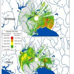
How do you find stopover habitat of migrants moving under the cover of night? David La Puma uses weather radar to see in the dark and identify sites across the southeastern U.S.
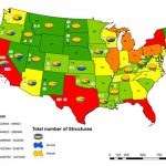
Rural housing development and fires: Understanding trends of housing loss to wildfires and rebuilding efforts throughout the United States.
Carlos Ramirez Reyes develops a way to monitor deforestation in Mexico using satellite images from 1990 to present.
Using powerful remote sensing technologies, Patrick Culbert seeks to map the size of agricultural fields with an unprecedented degree of detail, over large areas.
Global climate change is increasing the incidence of extreme weather events. Jessica Gorzo, PhD candidate, is studying how these extreme events are affecting the abundance, geographical distribution, and breeding habits of forest songbirds.
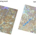
All disturbances are not created equal. Matthias Baumann has been developing image-processing algorithms that distinguish between anthropogenic and natural disturbances in the temperate forest region of European Russia.