The economic, ecosystem service, and recreational value of forests depends on their tree composition. Konrad Turlej’s goal is to map how widespread different tree species are.
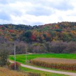
Satellite images provide a wonderful record of the last fifty years of global change. We have pioneered new methods to map wildlife habitat and proxies for biodiversity and habitat, as well as agricultural abandonment and other types of land use change for large areas. We analyze MODIS/VIIRS data across the globe, Landsat and Sentinel-2 across continents, and high-resolution CORONA spy satellite imagery across countries.

The economic, ecosystem service, and recreational value of forests depends on their tree composition. Konrad Turlej’s goal is to map how widespread different tree species are.

Climate change has managers concerned about the future of their refuges. The extreme weather events project members have been meeting with refuge managers to help them understand what will happen.

In central Siberia, old growth forests are threatened by illegal logging. Finding these sites by foot is an overwhelming task, and researchers turn to the skies, using satellites, in their conservation efforts.
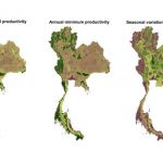
Biodiversity is being lost at an alarming rate, often due to habitat degradation and loss. To help optimize conservation planning and monitoring, Naparat Suttidate has developing and testing an easy method to predict biodiversity in Thailand based on remote sensing data.
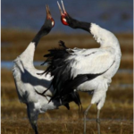
After a period of increase, Black-necked Cranes have been in decline at Napahai wetland since 2000. These patterns appear linked to the growth of the nearby city of Shangri-La.

SILVIS depends on the ability to store, manipulate and analyze large datasets. David Helmers is the wizard in charge of the servers and digital infrastructure that make it all possible.
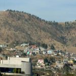
Forests of Mexico are under threat due to development, both for urban and agricultural purposes. However, it is not clear the spatial and temporal extent to which this is happening. SILVIS PhD candidate, Carlos Ramirez Reyes is exploring this using remote sensing data, and a novel method, spectral mixture analysis.
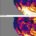
Extreme weather events are becoming both more frequent and intense. These events could be shifting bird numbers and their normal distributions in the United States. Ultimately, these weather events could lead to the extinction of highly-sensitive species.
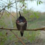
Extreme weather events are expected to increase in the future. Extreme weather could result in population declines if these strike during the breeding season for North American passerines.
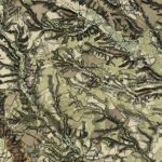
Historical maps are pretty AND useful. Catalina is using them to determine the effects of past land use on subsequent land cover change in the Carpathian Region of Europe.