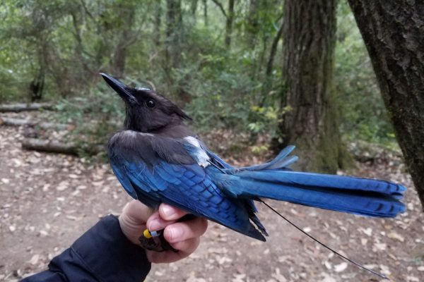
We map how the world is changing, try to understand why, and analyze the implications for biodiversity, especially birds. We focus on land use, because it is the greatest conservation threat. We often work with satellite imagery, GIS data, and statistical models, we conduct field work, and we collaborate a lot.
Recent Research
Data & Web Maps
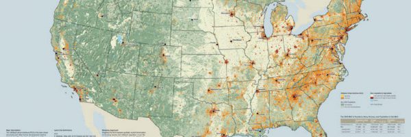
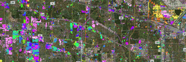
Block Level Housing Density
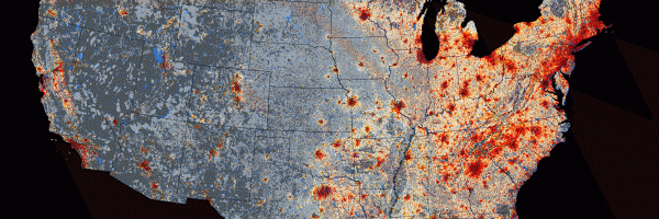
Growth in Housing Density in the U.S. between 1990 and 2010
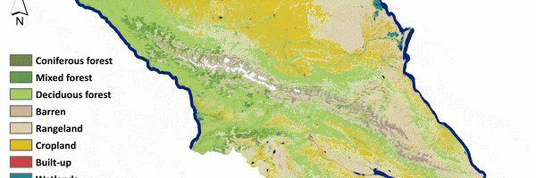
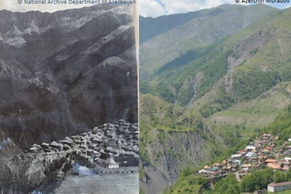
Caucasus Land Cover Change
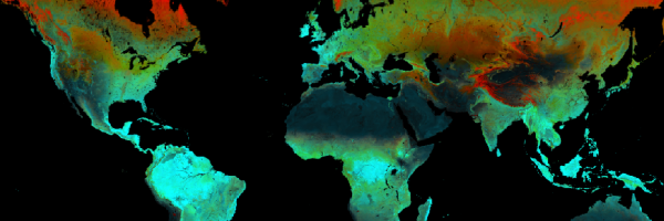
Landsat 8 TIRS-derived thermal variables to predict winter biodiversity patterns